Product Overview
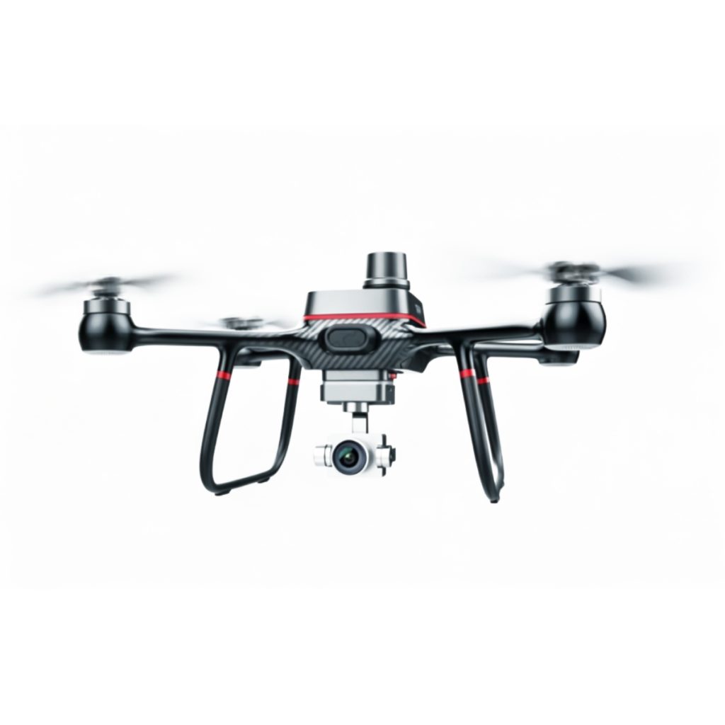
Endutether R500 RTK Surveying Drone is a professional UAV platform for mapping. It helps survey, construction, and inspection teams evaluate whether the aircraft or payload can deliver the accuracy, coverage, and workflow they need.
Key details include: centimeter positioning UAV, dual-light mapping drone, professional RTK drone for construction site and high-precision land survey. These details should be reviewed together with the final configuration, accessory list, and operating environment.
Key Benefits
- Helps teams compare accuracy, coverage, payload fit, and field workflow.
- Useful for survey, construction, inspection, and documentation projects.
- Keeps compatibility and data-collection requirements visible before purchase.
- Supports project planning where reliability and repeatable results matter.
Typical Applications
R500 RTK Surveying Drone can be considered for mapping. Confirm compatibility, regional requirements, and the final package before ordering.
Purchasing Notes
Please share your target drone platform, use case, quantity, destination country, and integration requirements so the configuration can be checked before purchase.
FAQ
Q: What is R500 RTK Surveying Drone used for?
R500 RTK Surveying Drone is used for mapping. Product details worth checking include centimeter positioning UAV, dual-light mapping drone, professional RTK drone for construction site and high-precision land survey.
Q: What should I check before ordering R500 RTK Surveying Drone?
Confirm compatibility with your drone platform, payload interface, power requirements, mounting method, operating environment, and required accessories.
Q: Who is R500 RTK Surveying Drone suitable for?
It is suitable for commercial operators, integrators, training teams, or project buyers who need a product matched to a specific task rather than a general consumer option.
Q: Can R500 RTK Surveying Drone be configured for different projects?
Configuration depends on the aircraft platform, payload role, control setup, and operating conditions. Share your mission profile if you need integration advice before purchase.
Q: What information helps with a quote?
Send the product model, intended application, drone platform, quantity, destination country, and any payload, power, or compliance requirements.