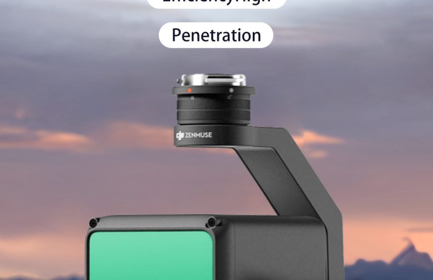
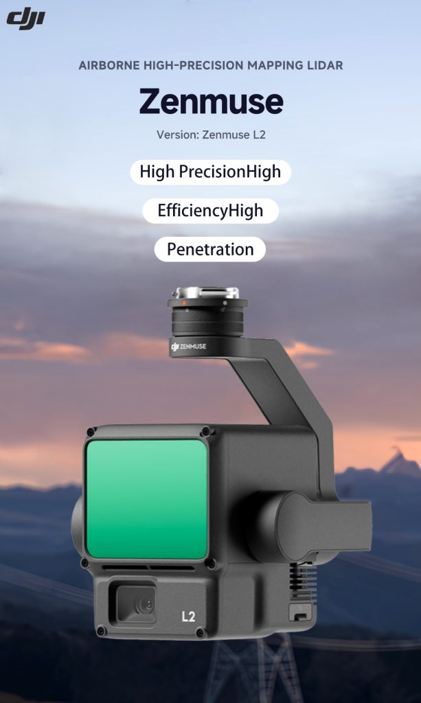
The DJI Zenmuse L2 is a high-precision aerial LiDAR system designed for advanced mapping and surveying applications.
High-Accuracy 3D Data Collection
The Zenmuse L2 integrates a frame LiDAR sensor, high-precision IMU, and a 4/3 CMOS mapping camera, enabling accurate and efficient geospatial data capture.
It delivers impressive accuracy:
- Vertical accuracy: 4 cm
- Horizontal accuracy: 5 cm
- Coverage: up to 2.5 km² per flight
These capabilities make the L2 a powerful tool for professional mapping missions.
Industries Using LiDAR Drones
LiDAR-equipped drones are widely used in:
- Forestry and environmental monitoring
- Construction site mapping
- Powerline inspection
- Urban planning
By combining LiDAR data with aerial imagery, engineers and surveyors can create accurate 3D models faster than traditional methods.