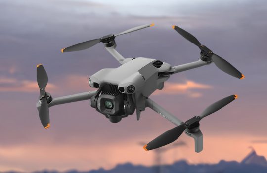
In the world of professional aerial operations, efficiency and reliability are everything. The DJI Matrice 400 is a next-generation enterprise drone designed for demanding industrial tasks such as surveying, infrastructure inspection, and emergency response.
Powerful Flight Performance
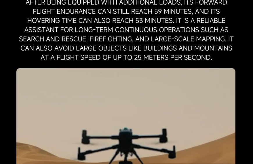
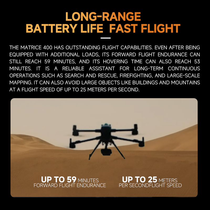
The Matrice 400 delivers up to 59 minutes of flight time, enabling professionals to cover larger areas with fewer battery swaps. With a maximum payload capacity of 6 kg, it can carry multiple sensors simultaneously for complex missions.
Its O4 Enterprise transmission system supports long-distance communication up to 40 km, making it ideal for large-scale mapping and industrial inspections.
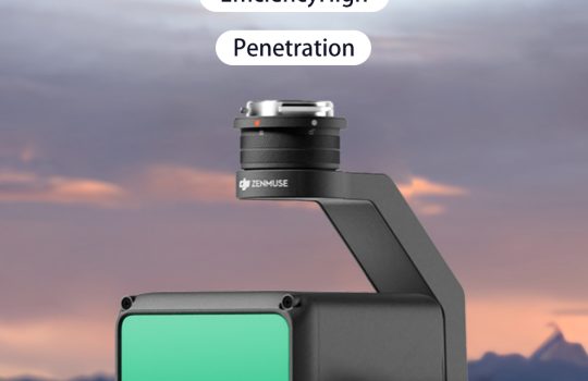
Intelligent Safety System
The drone integrates LiDAR, mmWave radar, and low-light vision sensors, providing reliable obstacle detection even in fog, rain, or low-light conditions. This advanced sensing system significantly improves operational safety.
Ideal Applications
The Matrice 400 is widely used in:
- Land surveying and mapping
- Search and rescue missions
- Infrastructure inspection
- Agricultural monitoring
For professionals who require endurance, precision, and reliability, the Matrice 400 stands as one of the most advanced enterprise drones available today.